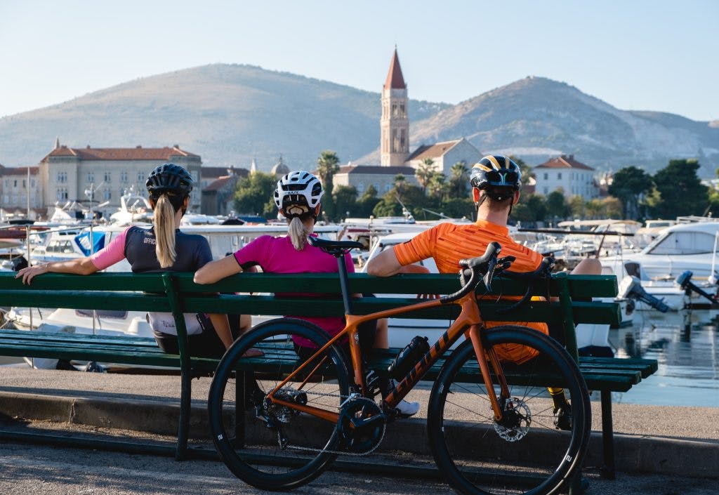
Trogir Bike
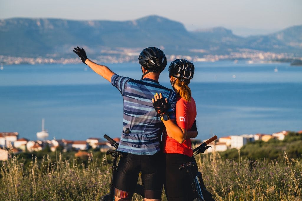
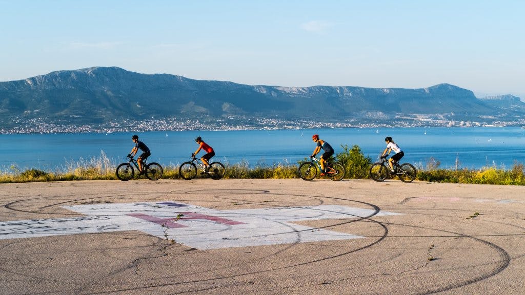
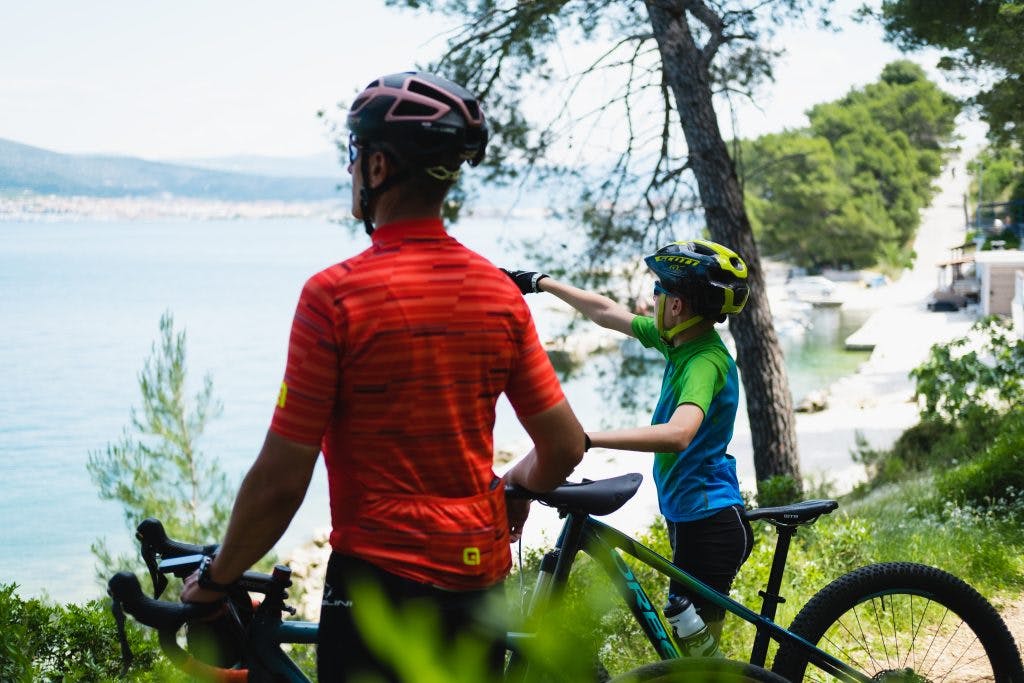
The town of Trogir and its surroundings offer unforgettable experiences in the field of active tourism, especially in one of the most popular activities – cycling!
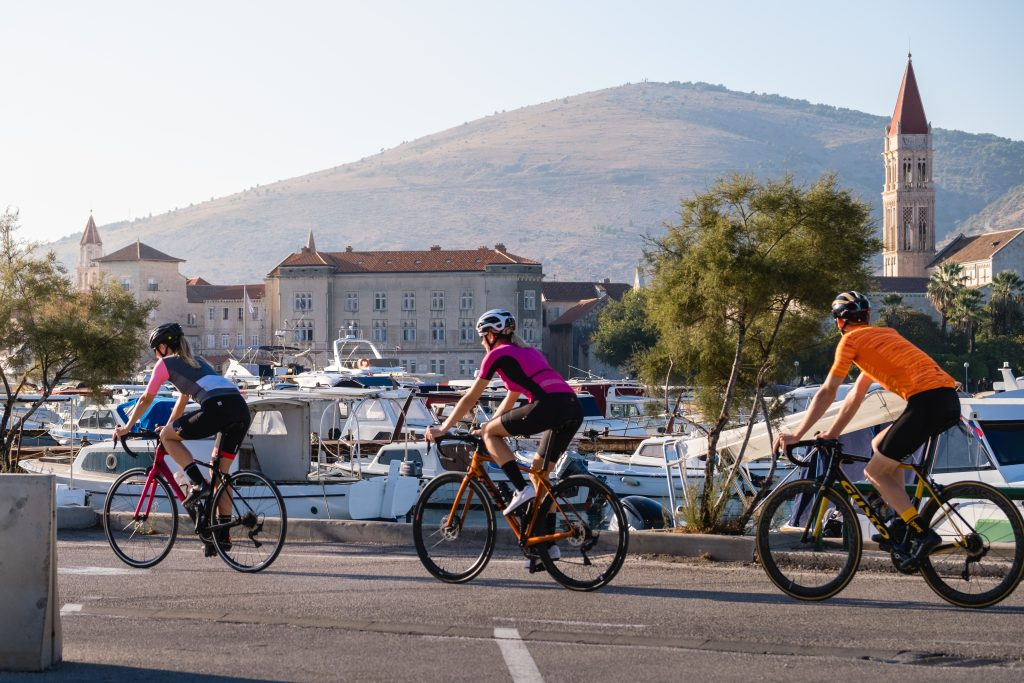
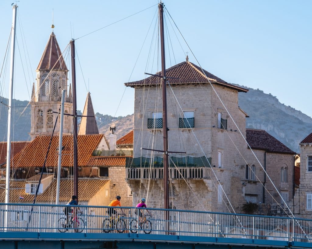
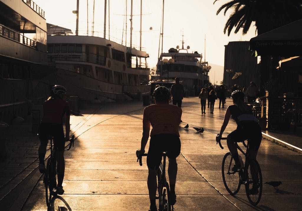
The combination of exceptional cultural and historical sights of the town and the natural beauty of the island of Čiovo makes this area a perfect destination for cycle tourism. Cyclists are looking for basic infrastructure in the form of well-designed, diverse and marked trails that are provided by the Trogir Bike project, but also additional value in the form of services, events and an authentic cultural experience.
Explore the sights, coves, viewpoints, cliffs, beaches, historical churches and monasteries of Trogir and the island of Čiovo by cycling in a pleasant and picturesque environment with the smell of Mediterranean vegetation.
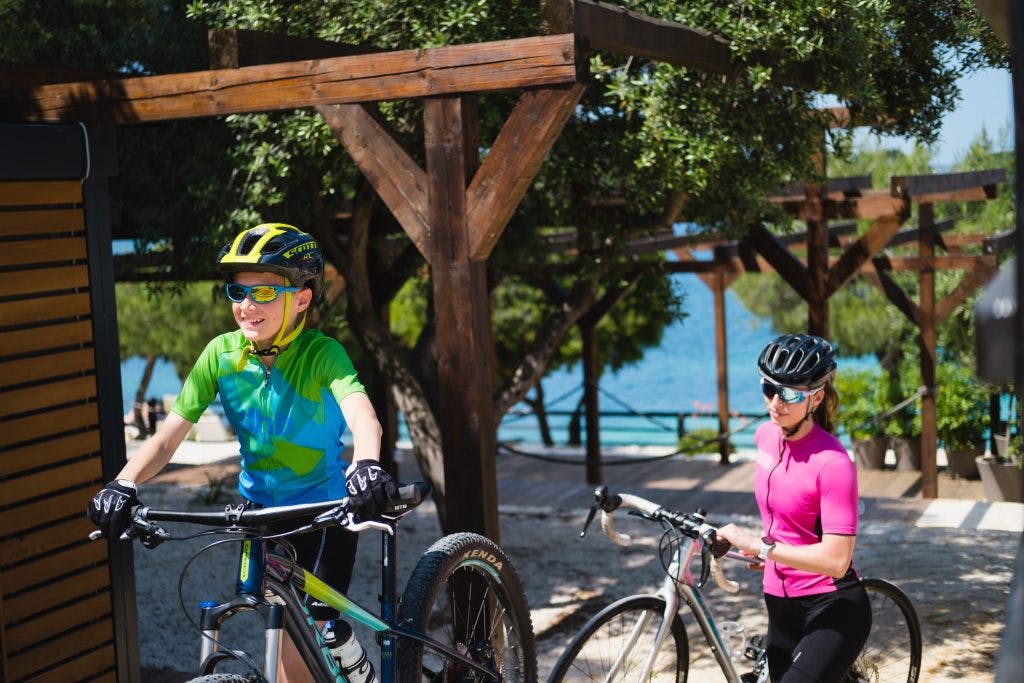
Recreationists and families can spend their vacation exploring easier trails, while those with more experience can try their hand at more challenging trails. See below the list of trails and their characteristics in order to choose a route that suits you.
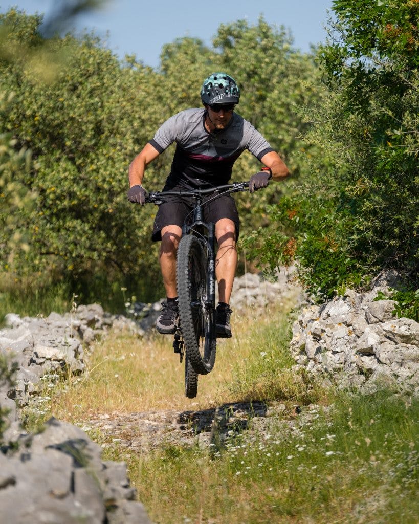
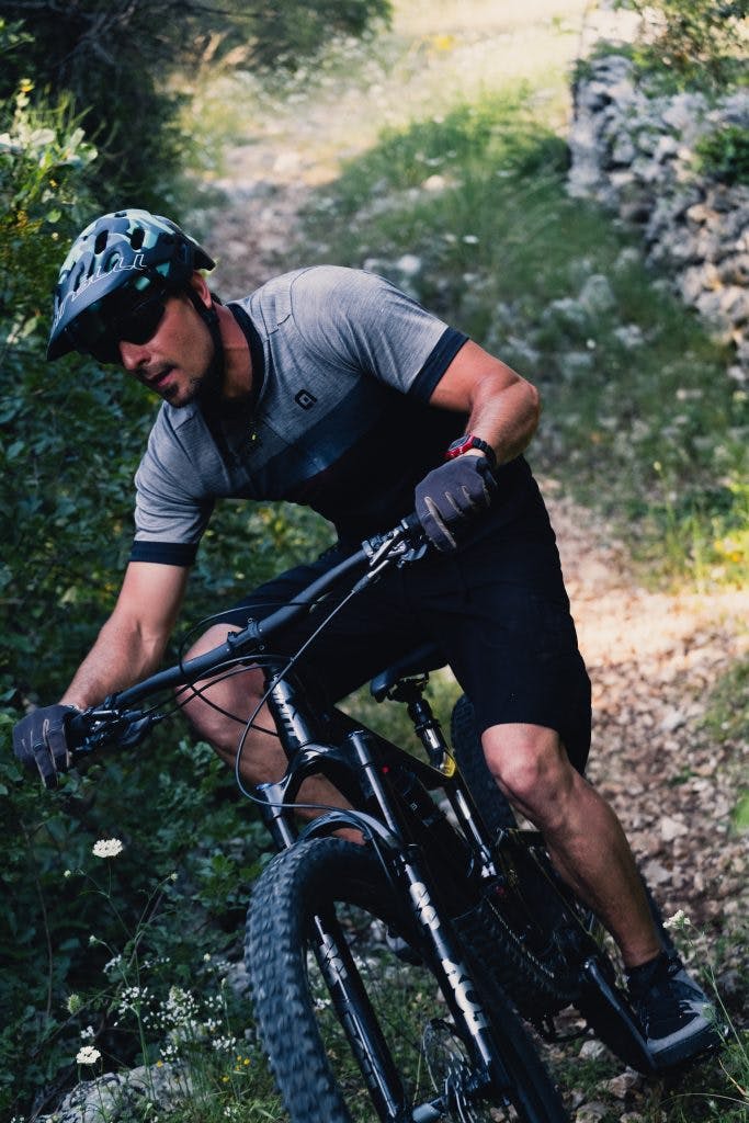
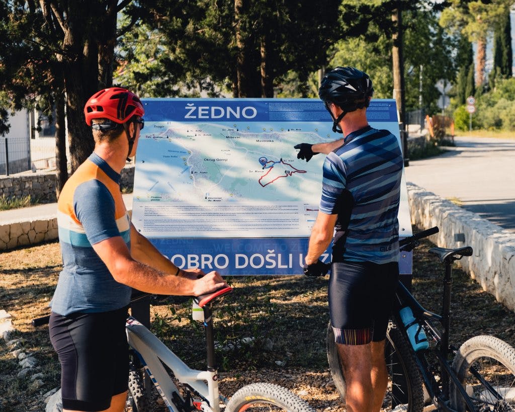
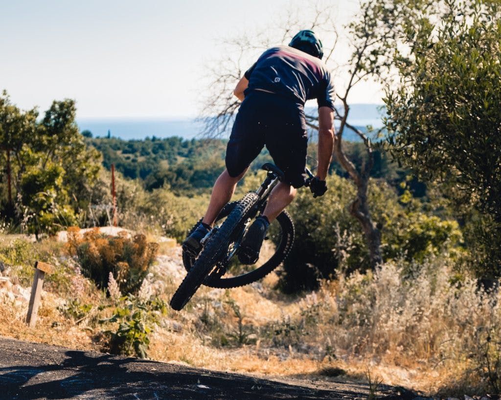
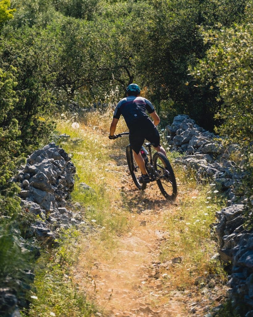
MTB TRAILS (download)
+ 2
TROGIR FROM ABOVE
Route number: 30
Route name: Trogir from above
Physical difficulty: 2
Technical difficulty: 3
Itinerary: Čiovo – Balan – Žedno – Arbanija – Mastrinka – Balan Čiovo
Route description:
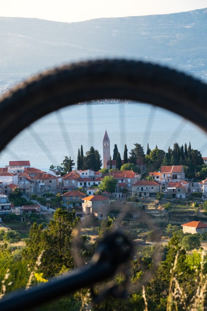
“The name of Trogir, a charming town whose historic core is protected as a unique cultural monument, has been on the UNESCO World Heritage List since 1997. One of the most well-preserved Romanesque-Gothic towns, it certainly owes its exceptional cultural heritage to its important strategic, naturally protected position, which is rounded off by an unusual “”step”” onto a neighbouring islet. For instance, the inhabitants of “”Little Venice””, as they still call it, despite the prohibitions of the 15th century Statute, were already attracted by the peculiarities of the neighbouring island at that time, the northern part of which they turned into their own suburb, a garden. Even today, the sea, sun and the Mediterranean air continue to intoxicate every new visitor, and a number of intriguing locations will enrich your drive through Čiovo. The single-nave St. Andrew’s church on Balan hill on the western cape of Čiovo is a protected cultural property. It is decorated with a semi-circular apse and square side windows as well as with a stone Romanesque sickle arch at the entrance. At the top of Balan there is also a former sea lookout point, the Stražica fort.
The road to the inland takes us to an unusually named village, Žedno (which in Croatian means thirsty). The church of Blessed John of Trogir can be found in the village, dedicated to a bishop who was strongly connected with the town, and because a number of miracles were attributed to him, with his cult being cherished by the inhabitants since the Middle Ages. John is also the youngest among the patron saints of Dalmatian episcopal cities and churches.
Arbanija and Mastrinka are charming places whose beaches are known for their underwater cleanliness, which will delight you with their colours and views over Velo polje and Divulje, Resnik with the airport and the Dalmatian hinterland of the Dinaric Mountains.“
Technical characteristics:
The 14.1 km long trail with the difference in altitude of 330 m is of lower physical demand, but it will often test your technical abilities. It consists of 4 climbs, the longest and most demanding of which is the one at the very start, which in the first 2km will elevate you to 150m above sea level with some steeper sections of 15% slope on asphalt and macadam roads, which most recreational cyclists will be able to conquer. The trail is characterised by gentle climbs and very dynamic descents of trail characteristics on single track trails with earthen and rocky surfaces. Everything from fine to technically demanding macadam roads, single tracks and loose trails await you. Two very steep single-track descents with a slope of up to -35% will test the technical abilities of even the most passionate cyclists and are sure to inject a dose of adrenaline. The track is ideal for MTB.
Points of interest: St. John of Trogir’s Church
Starting point: Car park next to the old Čiovo bridge
Length: 13,9 km
Altitude: 346 m
Longest climb: Balan – Kobiljak – 1,9 km | 7,6% | 145 m
Longest downhill: Arbanija | 1,8 km | -11%
Riding time: 1:00 – 1:30 h
Asphalt: 40%
Macadam: 60%
Type of bike: MTB, E-MTB
GPX file: √
+ 2
EAST PARADISE
Route number: 31
Route name: East paradise
Physical difficulty: 2
Technical difficulty: 2
Itinerary: Slatine – Put Vr sela path – Lubinovo – Slatine
Route description:
“Slatine exudes the undisguised beauty of the coastline and beaches that stretch across the north-eastern part of the island of Čiovo. A small place with a long fishing tradition is located in the south of Kaštela, the former Salonitan Bay. This small hill-top town with a thousand inhabitants is located right next to two UNESCO sites: being only 8 km away from the old town centre of Trogir, while it is separated from Split by just one nautical mile. Slatine is easy to reach from both towns by sea, so don’t miss a bike ride through the unique landscape of Čiovo and the views it offers of Marjan and the coast.
Like other typical Mediterranean towns, Slatine has an elegant bell tower built at the beginning of the 17th century, which belongs to the Church of the Assumption of the Blessed Virgin Mary. The parish church in the old part of the village preserves a 14th century altarpiece, which, like the remains of a wooden crucifix, are attributed to the work of the Venetian master, Paolo Veneziano, one of the most important Venetian painters of the 13thcentury. Not far away is a little house made of local limestone, built in the traditional way, and surrounded by a dry-wall structure, typical for this area. Right next to the parish church is a stone building from 1913, currently the local primary school with an international eco title that preserves the site’s tradition, so you can visit the ethnic collection, the collection of Adriatic shells and a small botanical garden of Mediterranean plants.“
Technical characteristics:
Enjoy breath-taking views while riding on fine macadam roads and single tracks. Being only 8.2 km long and with 266m of difference in altitude, this trail is suitable for both beginners and recreationalists wanting to enjoy the ride and experience the area’s natural beauties. One shorter 500 m macadam climb also awaits you with a slope of up to 15% that any cyclist can overcome, followed by a descent with the same characteristics that will give an ideal dose of adrenaline for those less experienced cyclists. An ideal trail to take a cultural tour of the old part of Slatine by bicycle after swimming. An MTB, gravel or trekking bike is recommended.
Points of interest: Church of the Assumption of the Blessed Virgin Mary, Ethno collection, beaches
Starting point: Slatine
Length: 8,2 km
Altitude: 266 m
Longest climb: 0,6 km | 11,5% | 71 m
Longest downhill: 0,86 km | -25.3%
Riding time: 0:30-1 h
Asphalt: 30%
Macadam: 70%
Type of bike: MTB, E-MTB, Gravel, Treking
GPX file: √
+ 3
EXPERIENCE ČIOVO
Route number: 32
Route name: Experience Čiovo
Physical difficulty: 3
Technical difficulty: 3
Itinerary: Čiovo, Put Gradine path – Žedno – Slatine – Arbanija – Put Gradine path
Route description :
“With its almost 30 square kilometres, Čiovo is the largest, slightly hilly island of the Trogir archipelago. Exploring its inland area, you will be taken to the village of Žedno, near which is the 4th century St. Maurus’ church in whose field hermits once gathered. That is, exiled heretics, lepers and outcasts who lived on the island in the 4th and 5th centuries. The little church with its semi-circular apse and bell-gable belfry was built at the top of a terraced slope, and the shape and structure of the walls indicate the Romanesque period. A beautiful bay in the surrounding area of Movarčica, was named after it.
When you’ve quenched your thirst in Žedno (meaning thirsty in Croatian), continue towards the northern coast of Čiovo, where you will be taken to discover places along the Kaštela Bay. Our Lady of Prizidnica’s Church is a cultural and historical jewel of Slatine. It was built on the cliffs in the 16th century by the hermits of the Catholic Church in the harmony of the stone, the sea and the forest.
Following the coastline, halfway between Slatine and Trogir, in Arbanija, you will discover the monastery of the Holy Cross with its cloister and a spacious garden built by the Dominicans on the rocky coast. The church has preserved a valuable 17th century painting heritage, and it is worth stopping by the northern wall, which was built like a fortress due to its defensive function. Arbanija developed around the monastery, being a settlement of Albanian families at the time, who came after the Dominicans in order to cultivate their land.“
Technical characteristics:
With a length of 20.5 km and a difference in altitude of 526 m with frequent changes in the surface, this trail is challenging even for more experienced cyclists. The first climb will take you 150 metres above the sea along 2.4 km of a fine macadam path, and after it a demanding descent awaits you on a technical single track with a surface of medium-sized loose stones followed by a steep climb of similar characteristics where the slope reaches up to 20%. Shortly after the steep part on loose stones, the climb turns to a wide macadam road and lasts 1.4 km with an average slope of 8%. The relatively flat 3.5 km long section leads along wide macadam roads and is a good place to rest before the macadam descent, which is followed by a physically demanding ascent on a single, stony track that later joins the road. With a length of 2.2km and an 8.1% average slope, a maximum slope of 15% and a loose surface, this is the most demanding and longest climb on the trail. The descent on a technical trail with a combination of earth and rock is very dynamic and enjoyable. At the end of the trail, you will ride along the road back to the starting point. An MTB is recommended.
Points of interest: St. Maurus’s Church, Mastrinka beach, Trogir heliport, Miševac panorama
Starting point: Čiovo – Put Gradine path
Length: 20,5 km
Altitude: 526 m
Longest climb: Slatine – Žedno – 2,14 km | 8.2% | 175 m
Longest downhill: Žedno – Arbanija – 2,4 km | -7,3%
Riding time: 1:30 – 2:30 h
Asphalt: 20%
Macadam: 80%
Type of bike: MTB, E-MTB
GPX file: √
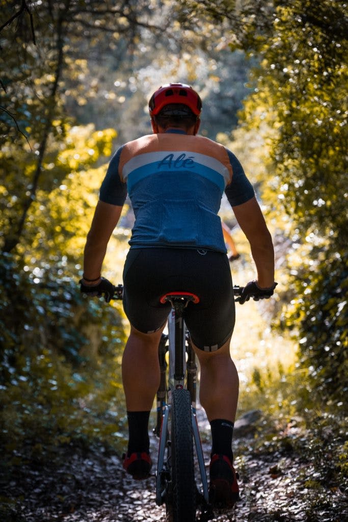
FAMILY/TREKKING & ROAD TRAILS (download)
+ 2
FAMILY/TREKKING TRAIL
Route number: 40
Route name: Treasure of Čiovo
Physical difficulty: 3/5
Technical difficulty: 4/5
Itinerary: Trogir – Žedno – Okrug Gornji – Milićevo – Trogir
Route description :
“When visiting old towns, one of the favourite, but at the same time the simplest, activities is to let yourself proceed along the streets discovering the buildings built in them. When it comes to the historical core of the town of Trogir, where every building tells its own story, a stroll along the streets suddenly takes on a new dimension. Surrounded by the sea, and anchored between the mainland and the island of Čiovo, the old town core, listed in 1997 on the UNESCO World Heritage List, hides attractive sights. Ćipiko Palace, Lucić Palace, St. Lawrence’s Cathedral, St. Dominic’s church and monastery as well as a number of smaller churches are just some of the historical buildings that turn the tour into a trip to another era.
If the numerous churches of the old town of Trogir have interested you into further research, there are at least as many more in the surrounding area. Given that the history of Čiovo preserves the tradition of hermits, who recorded traces of the former network of small churches here. The Čiovo hermits, who fled from the world, most often lived next to them. The St. Maurus’s church near the village of Žedno is particularly interesting. Built on an ancient settlement, in a somewhat less accessible location in the very heart of the island, this little church will quench the thirst of even the most curious explorers.“
Technical characteristics:
The 13.4 km long trail with an altitude difference of 292 m will immediately test your physical fitness with a climb that begins at the very start, and is 1.7 km long with an average gradient of 7.5% on an asphalt surface on the first and fine macadam on the second part of the climb. Following the climb, the flat road towards Žedno will serve as a resting and recuperation spot before the next gentle road climb to Žedno, which is also the last climb on the trail. After Žedno, a circle is ridden on fine macadam with many views of the sea and a further resting place for cyclists. A wide road leads to Okrug Gornji, while the way back to the start-finish point is ridden on narrow town streets with little traffic. Trekking and gravel bikes are ideal for this trail, although the more experienced can ride it on a road bike with slightly wider tires.
Starting point: Trogir-Čiovo
Length: 13,4 km
Altitude: 292 m
Longest climb: Sv.Ante – 1,7 km ; 7,5% ; 130 m
Longest downhill: Milićevo – 2,4 km ; -5,5%
Riding time: 1-2 h
Asphalt: 40%
Macadam: 60%
Type of bike: Trekking / MTB / Gravel
GPX file: √
+ 4
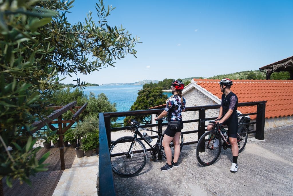
ROAD TRAIL
Route number: 35
Route name: Mystique of the island
Physical difficulty: 3/5
Technical difficulty:4/5
Itinerary: Čiovo Put Gradine – Okrug Gornji – Okrug Donji – Okrug Gornji – Žedno – Arbanija – Slatine – Žedno – Put Gradine
Route description :
If you’re looking for an escape from everyday life, while looking for a holiday that involves the seclusion of a gorgeous island, then the island of Čiovo is the perfect option! The tranquillity and safety of its natural beauties was recognized centuries ago, when fugitives and hermits, including the Hungarian-Croatian king Bela IV, chose it as their destination. He, as they say, found his refuge on the islet of Kraljevac while fleeing from the Tatars in 1242. The tradition of hermits on the island has left striking marks, but whether you plan to spend your time exploring historical sites or prefer to choose the masterful bays and beaches that invite you to lounge and relax, this island, with its seclusion combined with the proximity of larger cities, offers a unique balance of different possibilities. So, hurry up, or rather – slow down, and become a contemporary fugitive yourself on one of the unbelievably charming Croatian islands.
Technical characteristics:
A 33.6 km long trail takes you through the whole island of Čiovo at an altitude of 565 m above sea level. The initial 17 km passes around the entire Okrug, which is relatively flat. The first climb begins in Okrug Gornji, which, along 3 km of an average 4.5% gradient and no steep parts, leads to Žedno. After Žedno, there is an extremely dynamic descent with several hairpin bends and a slope of up to 18% where care should be taken. Riding by the sea leads to a very demanding climb on a narrow road that will test even the most prepared cyclists with a 7.7% gradient on a 2.4 km long section. Although it may not seem overly demanding, halfway up the climb a 1 km long section stretches with an average gradient of 11.6%. The descent that will bring you back to the beginning of the trail is very short, but also very steep, so you should ride carefully. The descent bringing you back to the beginning of the trail is very short, but it is also very steep, so you should pay special attention while riding. A compact crankset is definitely recommended for this trail due to the gradients that reach 25% on the way up. Most of the trail is ridden on wide two-lane roads, while the main climb is ridden on a narrow, traffic-free one-way road.
Starting point: Trogir – Čiovo
Length: 33,6 km
Altitude: 565 m
Longest climb: Slatine – 2,4 km ; 7,7% ; 190 m
Longest downhill: Žedno – 2 km ; -6,7%
Riding time: 1:30-2:30 h
Asphalt: 100%
Macadam: 0%
Type of bike: Roadbike
GPX file: √
MTB map
FAMILY/TREKKING & ROAD map
MTB "Trogir from above"
gpx
MTB "East Paradise"
gpx
Family/Trekking "Treasure of Čiovo"
gpx
Road "Mystique of the island"
gpx